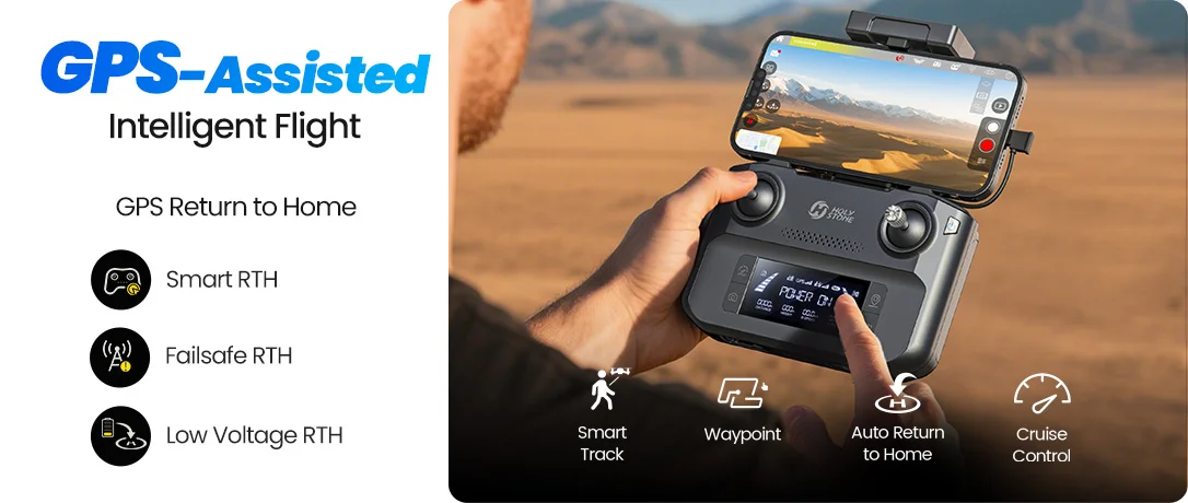
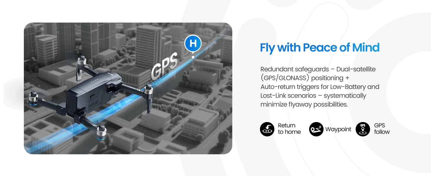
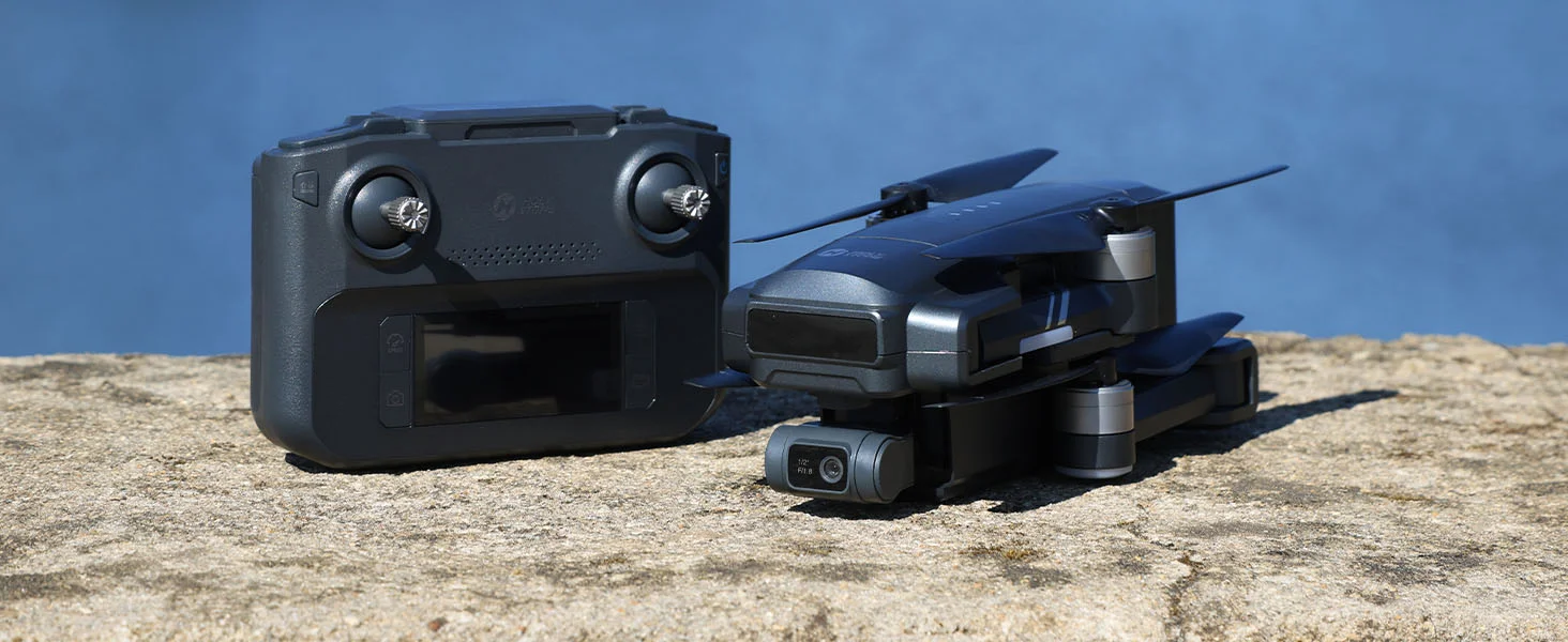
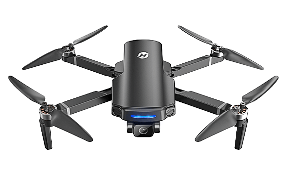
Return Features for Safer Outdoor Flying
GPS Return · Low Battery Return · Lost Signal Return
HS600D is designed to help pilots manage outdoor flights with more confidence, especially when flying farther away or learning GPS drone control.
Always set a safe return altitude and keep the flight path clear before takeoff.
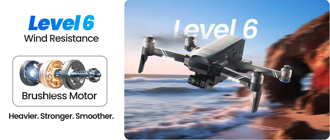
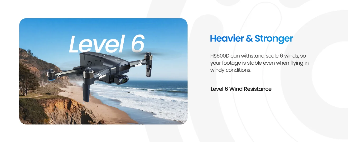
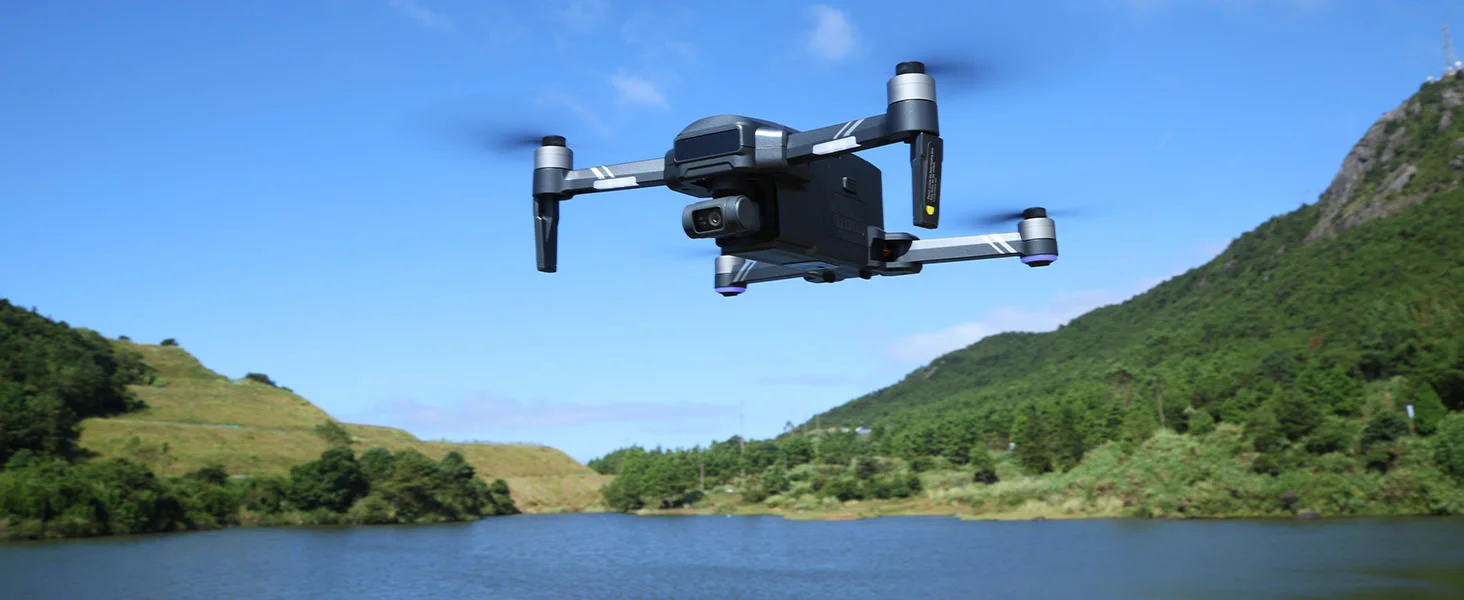
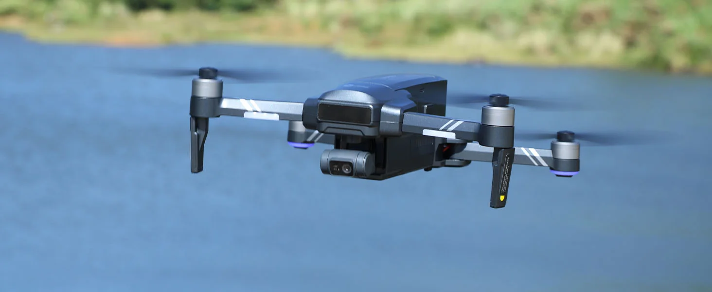
Stronger Body for Windier Outdoor Flights
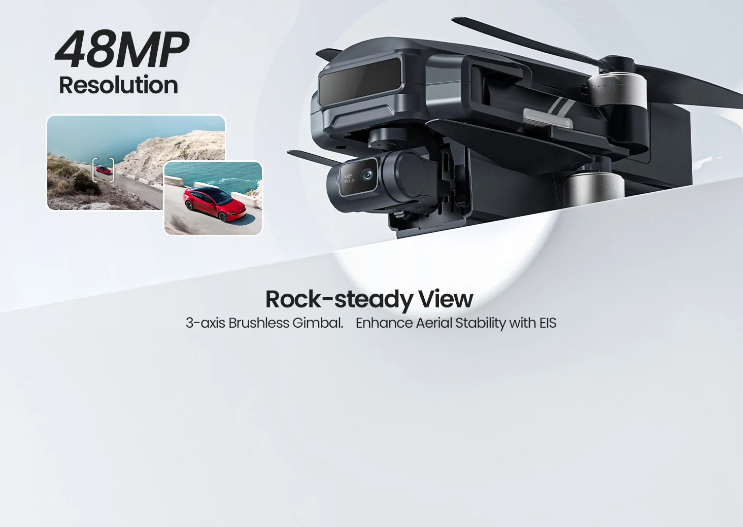
603g Airframe · Level 6 Wind Resistance
The stronger body helps HS600D feel more settled outdoors, giving pilots a more stable platform for filming landscapes, yards, campsites, and open spaces.
It is designed for breezy conditions, not for extreme weather. Avoid flying in strong wind, rain, or unsafe environments.
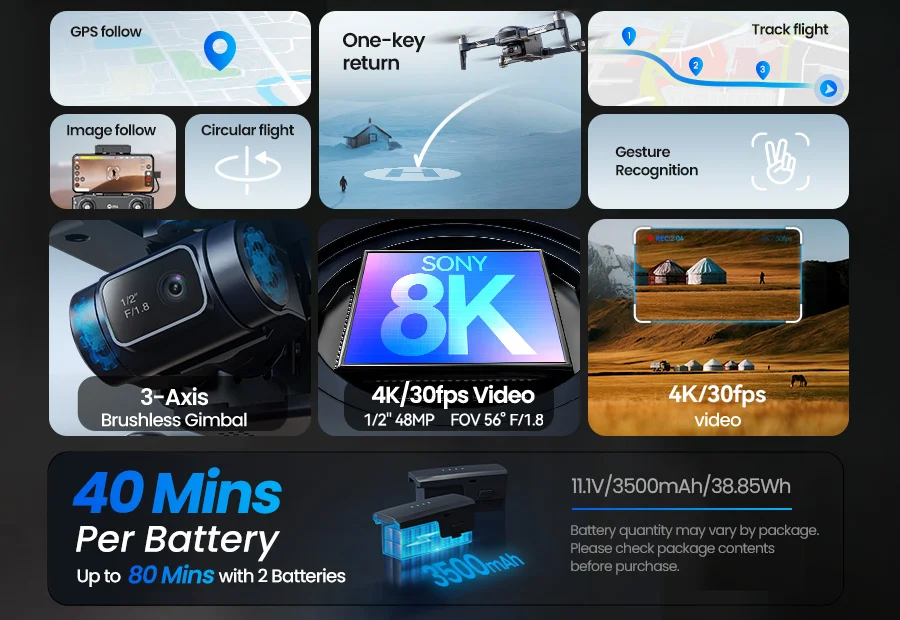
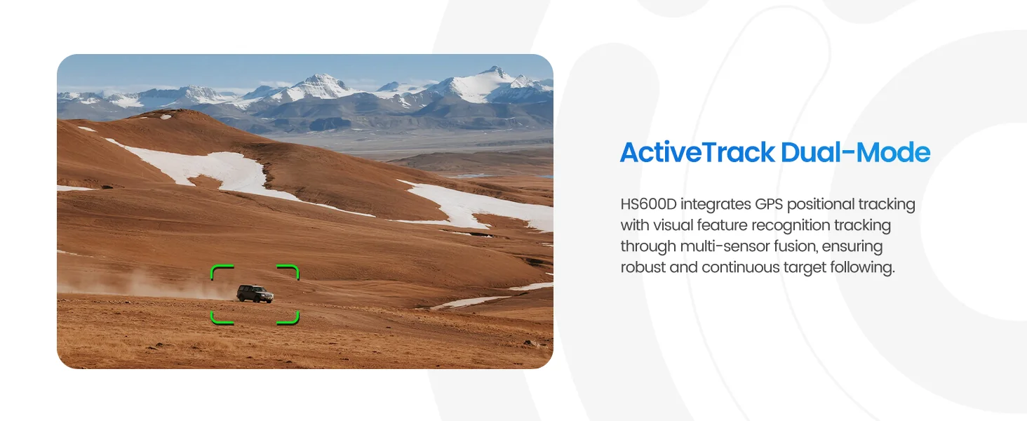
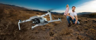
Smart Tracking for Everyday Outdoor Moments
Follow Mode · Outdoor Activities · Family Memories
Use intelligent follow features to keep people, vehicles, or outdoor activities in frame with less manual camera movement.
Since HS600D does not include obstacle avoidance, always use tracking in open areas with a clear flight path.
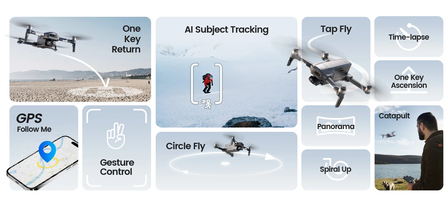
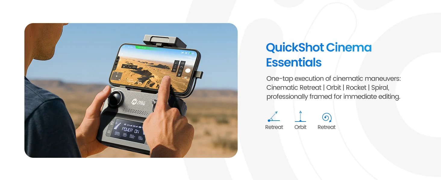
Quick Shots for Easier Aerial Storytelling
One-Tap Cinematic Shots
Create more dynamic aerial clips without manually controlling every camera movement.
These modes are useful for travel, family gatherings, outdoor sports, scenic locations, and casual creator content.

 Sign in
 Sign up